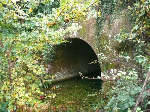
The Mill House, Butter Wood and Greywell Tunnel
Common, woods and the tunnel.
Walk 3 of 8 · 4.0 miles (6.5 km)
Fen, village pub and canal.
Start point
Postcode RG29 1ND
Works with AllTrails, OS Maps, Komoot and most walking apps. Import the file and follow along.
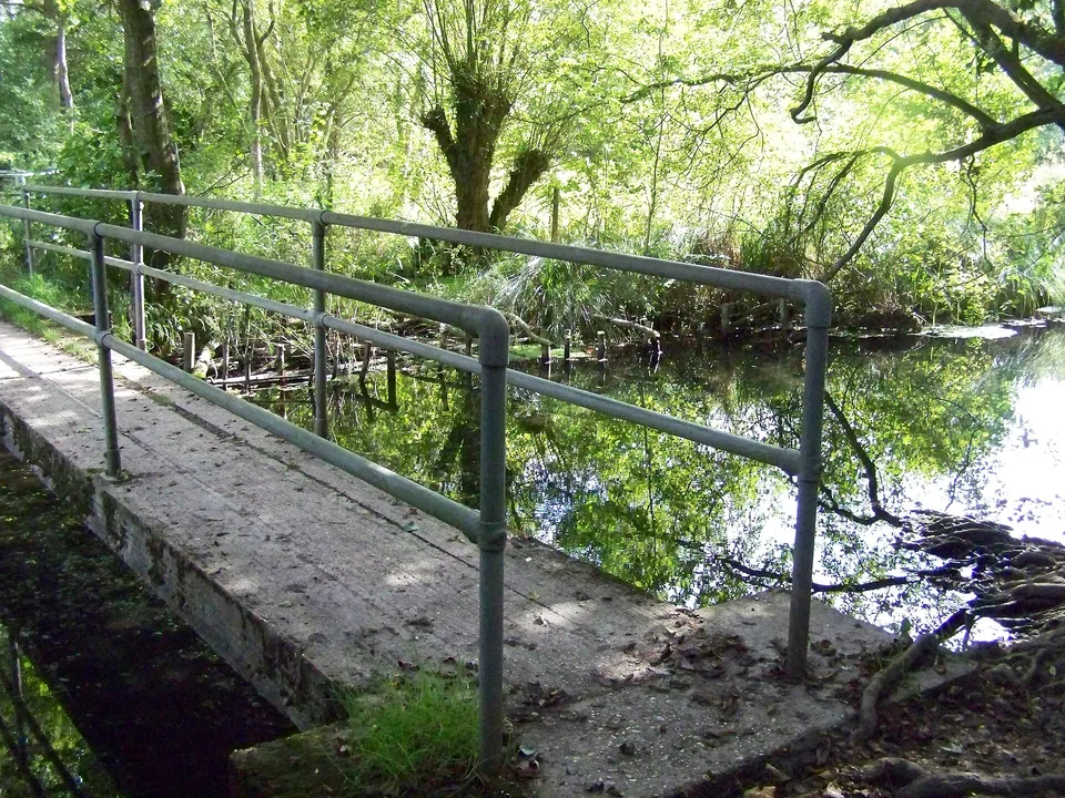
This one has a bit of everything. You get big views over the Whitewater valley, a walk through a rare spring-fed fen, a little medieval church, a proper village pub at halfway, and then a long stretch of canal back past the castle.
It's the walk we'd pick on a bright spring day, when the marsh flowers are out on the moors.
The numbers on the map match the directions below.
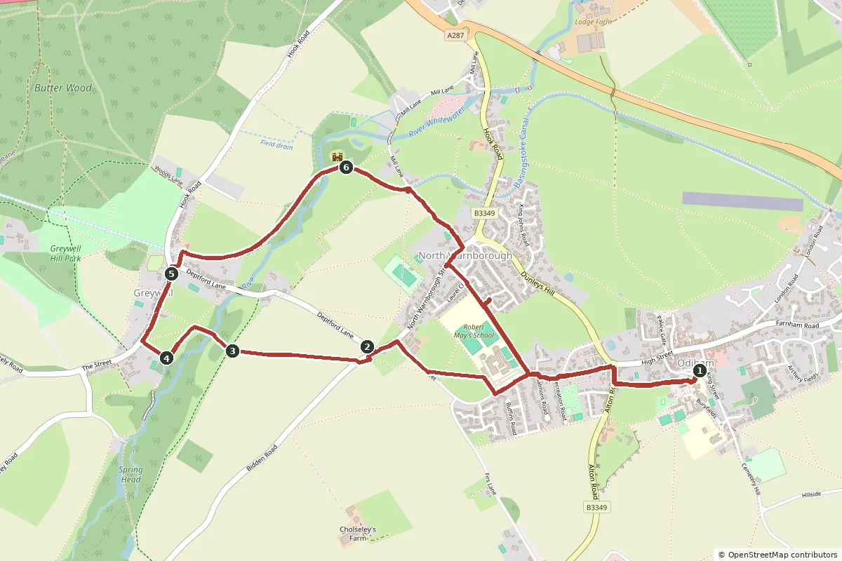
Open the GPX file in your favourite walking app to follow the route on your phone.
From The Bury, go into All Saints' churchyard and turn right along the path beside the brick wall to Alton Road. Cross at the lights and go into West Street, just downhill on the left. Follow West Street west past Robert May's School. Just after the school, a few steps on the left take you up onto a footpath along the field edge (watch for cattle), which brings you back to the road further on. Carry on to the junction with Bidden Road and Deptford Lane.
Cross Bidden Road with care and take the footpath through the hedge on the far side. From here you look down over the Whitewater valley. Follow the path straight across the fields and down to the gate at the bottom, the entrance to Greywell Moors nature reserve.
Keep to the public footpath through the reserve. It crosses the young River Whitewater on a footbridge and then runs up the edge of a field to a gate into Greywell churchyard.
Walk past St Mary's Church and up the track to the village street. Turn right past the cottages to the Fox & Goose.
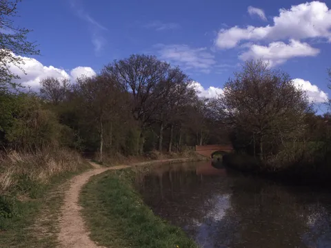
Just past the pub, turn right into Deptford Lane, then almost straight away take the footpath on the left. It climbs the bank and crosses the canal right by the mouth of Greywell Tunnel. Turn right along the towpath and follow it east. You cross the River Whitewater on a small aqueduct, and then King John's Castle appears on your left.
Carry on to North Warnborough lift bridge, cross it and follow Tunnel Lane to The Street. Turn right, and after about 100 metres turn left up the path opposite the Anchor. It crosses a residential road and becomes a wide tarmac path beside Robert May's School, coming out on West Street. Retrace your steps to The Bury.
We've drawn these routes from OpenStreetMap and checked them against Hampshire County Council's public rights of way map, but the countryside changes. Paths get diverted, bridges close for repairs and fields fill up with crops or cattle. Please treat our directions as a friendly guide, not a guarantee, and follow the signs and waymarks you find on the ground.
You walk these routes at your own risk. If you spot something that has changed, we'd love to hear about it at [email protected].
See all 8 routes on our Odiham walks page, or browse our local guide for pubs, cafés and things to do.
Common, woods and the tunnel.
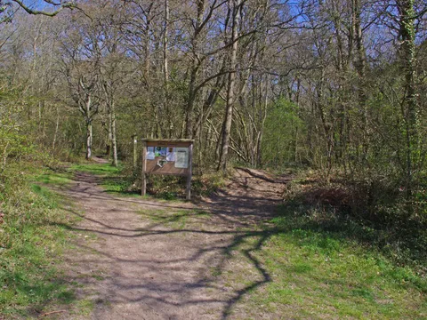
A short woodland loop for dogs.
The longer canal and parkland loop.
Fancy a walking weekend? Our dog-friendly cottage is a short stroll from Odiham High Street, so several of these walks start almost from the door. Muddy boots and muddy paws are both welcome. Book direct for our best price.
Check dates