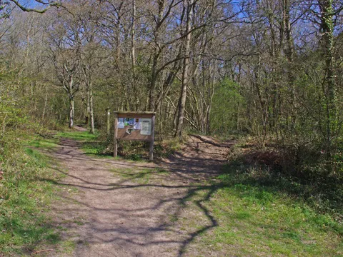
Odiham Common and the canal
A short woodland loop for dogs.
Walk 4 of 8 · 3.2 miles (5.2 km)
Common, woods and the tunnel.
Start point
Postcode RG29 1ET
Works with AllTrails, OS Maps, Komoot and most walking apps. Import the file and follow along.
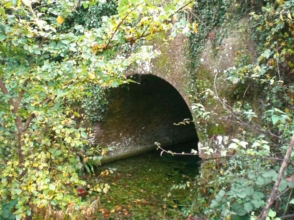
A properly varied walk for its size. It starts and finishes at the Mill House, crosses the open common of Warnborough Green, heads into the oaks of Butter Wood and comes back along the quietest stretch of the Basingstoke Canal, past the mouth of Greywell Tunnel and the ruins of King John's Castle.
Save time at the end for a drink by the millpond.
The numbers on the map match the directions below.
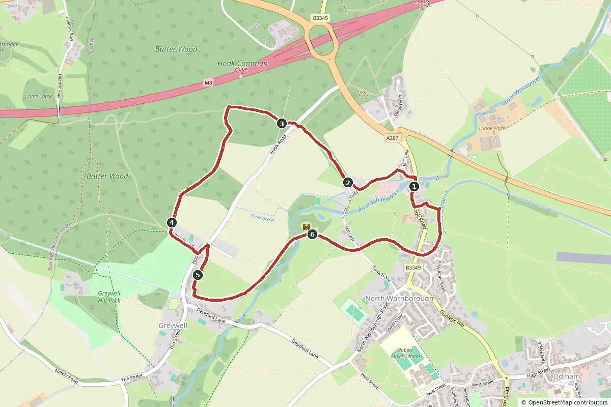
Open the GPX file in your favourite walking app to follow the route on your phone.
With the Mill House behind you, walk a few steps north along Hook Road and turn left into Mill Lane. Go through the gate beside the cattle grid onto Warnborough Green, part of the Bartley Heath and Warnborough Greens nature reserve, and follow the lane across the common to the ford over the River Whitewater.
Don't go through the ford. Turn right through the gate beside the second cattle grid, past a few houses, onto a narrow path between hedges and through a strip of woodland. This is West Lane, an old green lane. It comes out on Hook Road, the road between Greywell and Hook. Traffic is quick here, so cross carefully.
Take the footpath opposite, under the power lines and over a small access lane, into Butter Wood. Follow the path along the top of the wood (you'll hear the M3 beyond the trees) for about 350 metres, then bear left onto the waymarked footpath heading south. It's a long, often muddy ride down through the wood. At the bottom it meets a stony forest track, with Nap Pond hidden in the trees close by.
Turn left along the track, Woods Lane, out of the wood to Hook Road at the edge of Greywell. Turn left along the road for about 100 metres, then right into Dorchester Way and straight away right again through a gap into the field. Follow the footpath across the fields until it drops down to the canal beside the mouth of Greywell Tunnel.
Follow the towpath east, away from the tunnel. The water here is beautifully clear, fed by springs inside the tunnel. After about a kilometre you cross the River Whitewater on a small aqueduct, and King John's Castle appears on your left.
Keep going along the towpath past North Warnborough lift bridge and under the brick arch of Swan Bridge, which carries Hook Road over the canal. Shortly after, a path and then a little lane on the left take you up to Hook Road by Castle Bridge Cottages. Turn right along the pavement and the Mill House is just ahead.
We've drawn these routes from OpenStreetMap and checked them against Hampshire County Council's public rights of way map, but the countryside changes. Paths get diverted, bridges close for repairs and fields fill up with crops or cattle. Please treat our directions as a friendly guide, not a guarantee, and follow the signs and waymarks you find on the ground.
You walk these routes at your own risk. If you spot something that has changed, we'd love to hear about it at [email protected].
See all 8 routes on our Odiham walks page, or browse our local guide for pubs, cafés and things to do.
A short woodland loop for dogs.
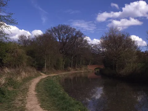
The longer canal and parkland loop.
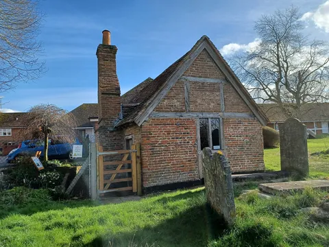
Stocks, plague house and coaching inns.
Fancy a walking weekend? Our dog-friendly cottage is a short stroll from Odiham High Street, so several of these walks start almost from the door. Muddy boots and muddy paws are both welcome. Book direct for our best price.
Check dates