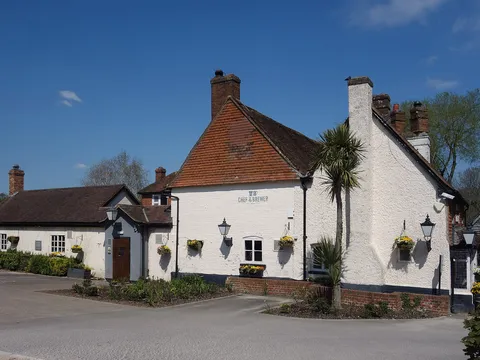
Odiham Trail and Ale
A full day out, with seven pubs on the way.
Walk 7 of 8 · 0.8 miles (1.2 km)
Stocks, plague house and coaching inns.
Start point
Postcode RG29 1ND
Works with AllTrails, OS Maps, Komoot and most walking apps. Import the file and follow along.
Odiham was a royal manor before the Norman Conquest and a busy coaching town in the 1700s, and today it has more than 250 listed buildings. This short stroll links some of our favourites.
For much more detail, the Odiham Society sells a Blue Plaque walking guide, and its free town trail is well worth downloading.
The numbers on the map match the directions below.
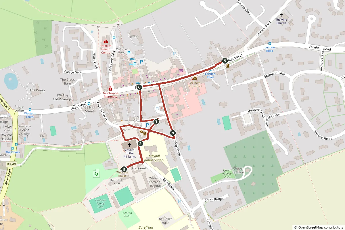
Open the GPX file in your favourite walking app to follow the route on your phone.
Start in The Bury, the little square in front of the church and the oldest part of the town. Fairs were held here for centuries. By the churchyard wall are the old stocks and whipping post, used to punish things like drunkenness until the early 1800s.
Head up the path into All Saints', Odiham's Grade I listed parish church. Parts of it date back to the early 1200s. The top of the tower was rebuilt in brick in the 1650s, after the old one collapsed. Inside, look for the carved Jacobean pulpit and the chalk font.
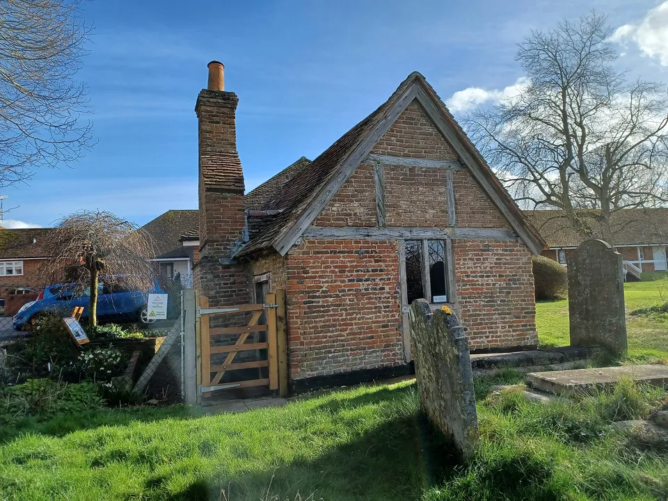
Follow the path around the church to the south-west corner of the churchyard and the tiny brick Pest House. It was built around 1622 as a home for the poor and later used to isolate people with plague and smallpox. It's one of only five left in England. It's usually open at weekends, so mind your head. Next to it are the almshouses, the oldest part endowed in 1623.
Leave the churchyard at its east end. The white building here is the Bridewell, built in the 1740s as a house of correction. James Aitken, the arsonist known as "John the Painter", was held here before he was hanged. Walk down the lane to King Street, past cottages built for workers at the old Odiham Brewery, and the converted oast houses that once dried its hops.
Turn right along the High Street to see the grand Georgian fronts. Many of them hide much older timber-framed houses behind. Marycourt, at number 43, is a fine late 17th-century brick house.
Cross over and stroll back west to the George, which has been an inn since the 16th century. In 1783 a farming society met here, and its work led to the founding of the veterinary profession in Britain. Finish by taking narrow Stoney Alley back down to The Bury.
We've drawn these routes from OpenStreetMap and checked them against Hampshire County Council's public rights of way map, but the countryside changes. Paths get diverted, bridges close for repairs and fields fill up with crops or cattle. Please treat our directions as a friendly guide, not a guarantee, and follow the signs and waymarks you find on the ground.
You walk these routes at your own risk. If you spot something that has changed, we'd love to hear about it at [email protected].
See all 8 routes on our Odiham walks page, or browse our local guide for pubs, cafés and things to do.
A full day out, with seven pubs on the way.
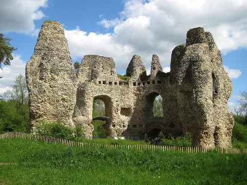
Village to castle and back by the canal.
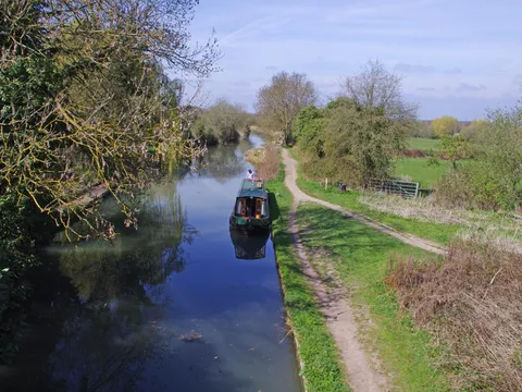
The easy, flat canal walk.
Fancy a walking weekend? Our dog-friendly cottage is a short stroll from Odiham High Street, so several of these walks start almost from the door. Muddy boots and muddy paws are both welcome. Book direct for our best price.
Check dates