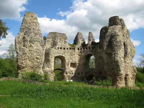
Odiham, North Warnborough and King John's Castle
Village to castle and back by the canal.
Walk 8 of 8 · 6.3 miles (10.1 km)
A full day out, with seven pubs on the way.
Start point
Postcode RG29 1AL
Works with AllTrails, OS Maps, Komoot and most walking apps. Import the file and follow along.
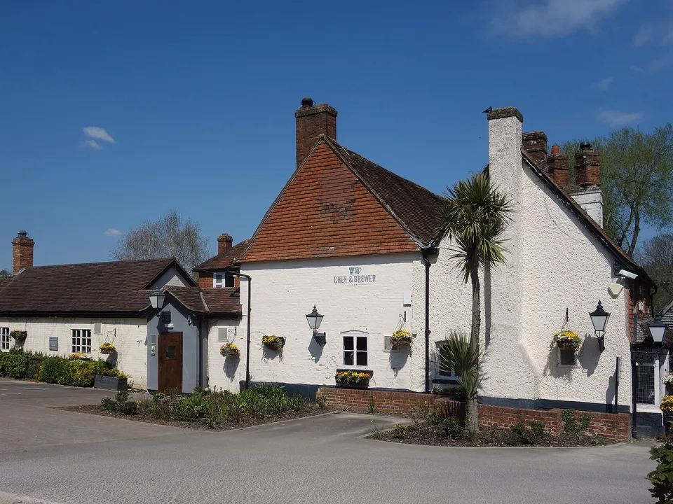
This is the big one: a full day out that strings together the canal, the woods, two villages and seven of our favourite local pubs. Take it slowly, stop for lunch at the Mill House and finish with a well-earned drink back in Odiham.
It's an easy one to dip in and out of. You can stop after any pub and walk back, skip a few, or just do the village end. The canal stretches and the Odiham pubs are fine for families, and dogs are welcome on the whole route.
Pubs keep their own hours, and some of the smaller ones don't open until late afternoon on weekdays, so it works best at a weekend. Check opening times before you set off.
A friendly word: it's a long day, so pace yourself. Halves are your friend, drink plenty of water, and there's no shame in a lemonade or two. Never drive afterwards.
The numbers on the map match the directions below.
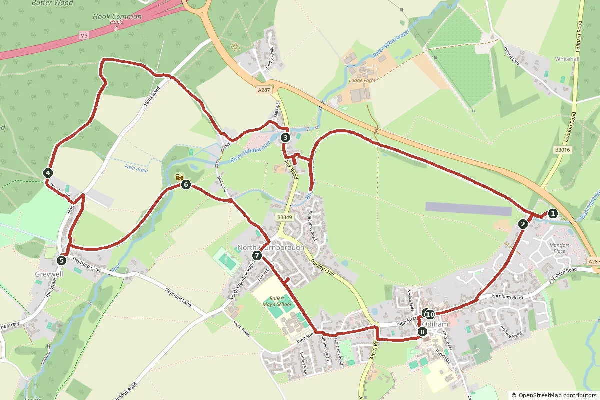
Open the GPX file in your favourite walking app to follow the route on your phone.
Start at Colt Hill car park, right by the canal. The Waterwitch is just over Colt Hill Bridge, with its garden running down to the water. Once you've set yourself up for the day, go back to the bridge and head west along the towpath, away from the moored boats.
Follow the towpath for about 2 km as the canal swings round the fields of the old deer park and the edge of North Warnborough. Just before Swan Bridge, where Hook Road crosses the canal, take the path on the right up past Castle Bridge Cottages to Hook Road, turn right along the pavement and the Mill House is just ahead. It's a good spot for lunch, by the millpond.
With the Mill House behind you, walk a few steps north along Hook Road and turn left into Mill Lane. Go through the gate beside the cattle grid onto Warnborough Green and follow the lane across the common towards the ford. Don't go through the ford: turn right through the gate by the second cattle grid onto West Lane, an old green lane between hedges, which comes out on Hook Road. Traffic is quick here, so cross carefully.
Take the footpath opposite into Butter Wood. Follow the path along the top of the wood for about 350 metres, then bear left onto the waymarked footpath heading south. It's a long, often muddy ride down through the trees to a stony track, Woods Lane. Turn left along it, out of the wood to Hook Road at the edge of Greywell. Turn left along the road for a short way, then take the footpath on the right across the fields. You're walking over the top of Greywell Tunnel here.
The path drops down to Deptford Lane right by the tunnel mouth. Turn right, then right again onto The Street, and the Fox & Goose is just there. It's a proper village pub with a garden and a play area, so it's a nice place for the kids to let off steam.
From the pub, go back into Deptford Lane and take the footpath down to the canal by the tunnel mouth. Turn right along the towpath and follow it east. The water here is beautifully clear. You cross the River Whitewater on a small aqueduct, and King John's Castle appears on your left.
Carry on to North Warnborough lift bridge, cross it and follow Tunnel Lane to The Street. Turn right, and the Anchor is just along on your right: a traditional local with two bars and a big garden.
Opposite the Anchor, take the path up past Robert May's School to West Street and follow it east into Odiham. Cross Alton Road at the lights and follow the path beside the churchyard wall into The Bury. The Bell is the little old pub facing All Saints' Church. It was saved and reopened by the village, and it's a lovely spot for a pint.
Head up to the High Street. The Red Lion is right there, and Bel & the Dragon at the George is a few doors along: the perfect place to finish, and dogs are welcome here too. When you're done, it's about 15 minutes back to Colt Hill. Walk east along the High Street, then left down London Road to the canal.
We've drawn these routes from OpenStreetMap and checked them against Hampshire County Council's public rights of way map, but the countryside changes. Paths get diverted, bridges close for repairs and fields fill up with crops or cattle. Please treat our directions as a friendly guide, not a guarantee, and follow the signs and waymarks you find on the ground.
You walk these routes at your own risk. If you spot something that has changed, we'd love to hear about it at [email protected].
See all 8 routes on our Odiham walks page, or browse our local guide for pubs, cafés and things to do.
Village to castle and back by the canal.
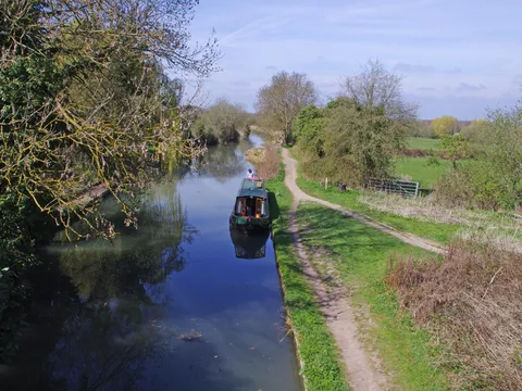
The easy, flat canal walk.
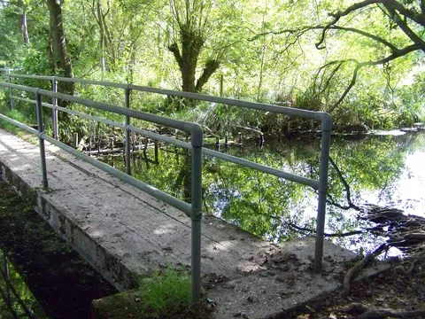
Fen, village pub and canal.
Fancy a walking weekend? Our dog-friendly cottage is a short stroll from Odiham High Street, so several of these walks start almost from the door. Muddy boots and muddy paws are both welcome. Book direct for our best price.
Check dates